The Glarus Alps are one of our favorite as they are not so far from our home and we can get to their summits comfortably by cable cars. I didn't mention great hiking trails and amazing views as it's obvious 😊
We didn't see our friends for some time, and when they suggested to meet up again I didn't want to do it in Zurich as the weather during the weekend was supposed to be very nice, so I wanted to go to the mountains. I asked them if they would like to join us and they confirmed they would love to with no doubts. It wasn't our first time together in the mountains, so we knew what to expect from each other. We agreed to take some food for a picnic, and I couldn't wait for Saturday to come.
We left home before 9 AM to arrive at the station Pizolbahn Bad Ragaz just after 11 AM. Our friends were late, so we joined the queue to purchase the tickets. Surprisingly, it didn't take so long to get to the counter, and we purchased 4 return tickets for hiking only for 27 CHF per person. Normal price is 54 CHF per person (ski passes are even more expensive), but we all have discount cards with 50% off the price.
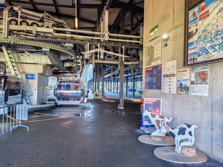
We waited for a few minutes, and boarded a gondola as soon as our friends arrived. I prefer these small gondolas to big cabins as they go in circles, so you don't need to wait. There is a gondola every few seconds.
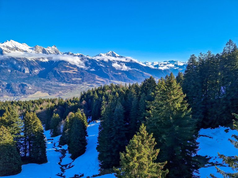
We were gaining the altitude quickly, and after a few moments we were blessed with stunning views of the Plessur Alps. And we still had a long ride ahead of us!
The windows of the gondola were scratched, but there was a tiny window that we could open, so that I could take a few photos.
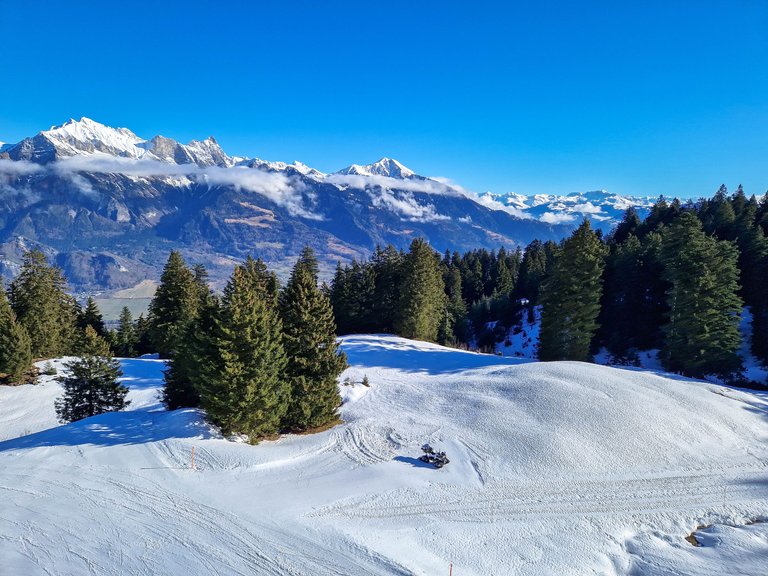
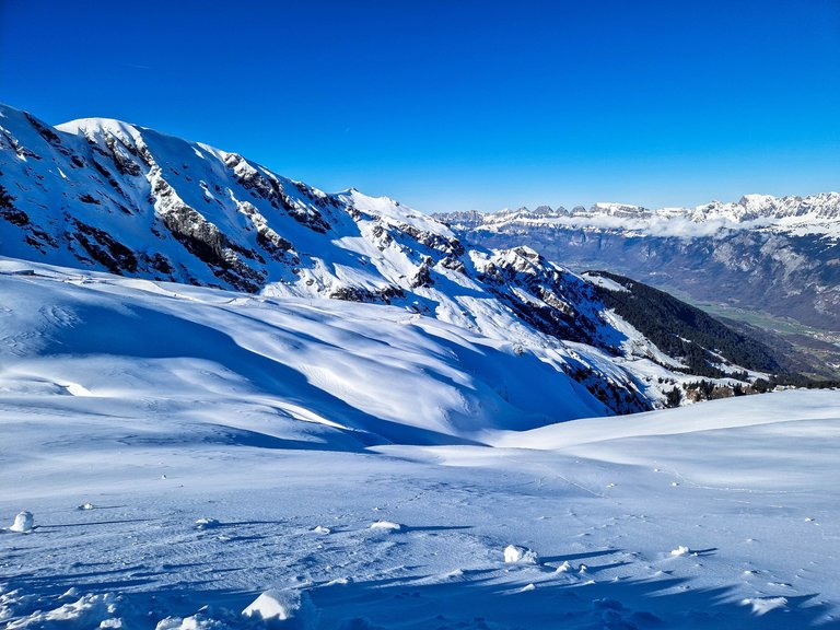
And we arrived at our first stop called Pardiel at 1621 m above the sea level. We already gained more than 1100 m in altitude, but there were another 600 m to come.
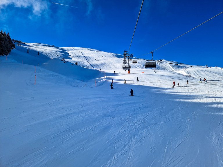
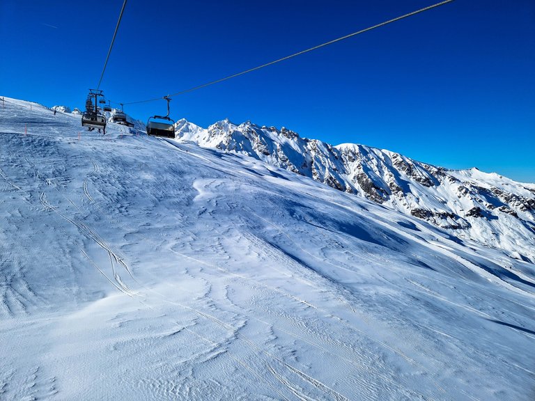
We admired the views, tried not to get killed by skiers and boarded the chairlift to our next station. We seemed to be the only ones to go hiking as everyone else had skis. I must admit that I stepped on a few of them as there were everywhere.
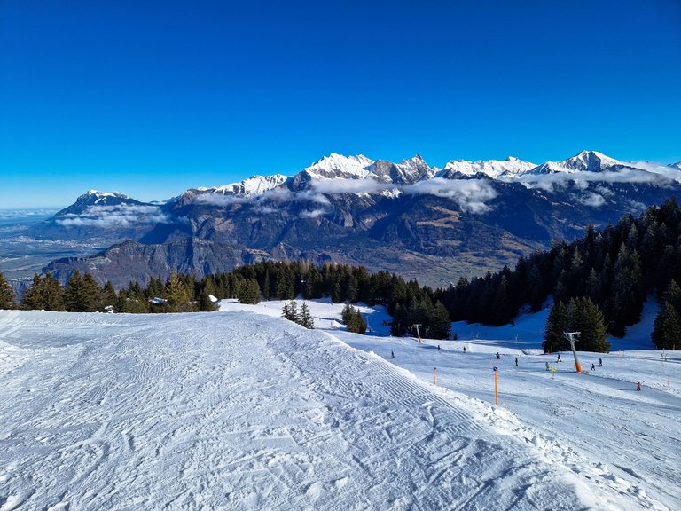
It was kind of a scary experience. We got off so fast and continued with that speed all the way up. It only took about 10 minutes, but we were freezing as our chair lift didn't have the lid and the wind was so strong. My feet were dangling in the air and I was holding onto the grippers for my dear life 😊 You might think that I am exaggerating, but our friends go skiing almost every weekend, and they said that they never seen such fast lifts.
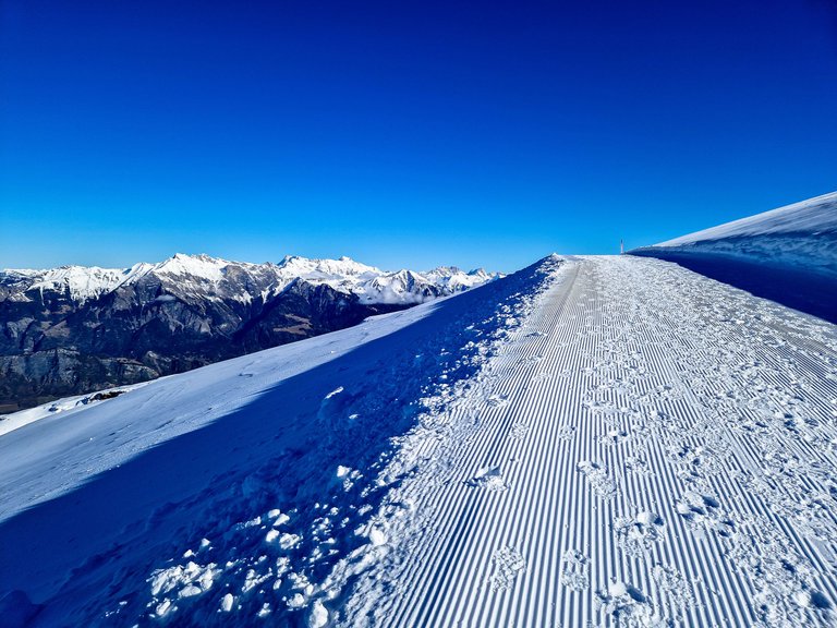
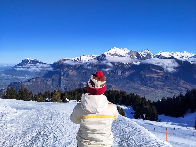
Soon enough, we could see the mountains on the other side...
We were almost at the top!
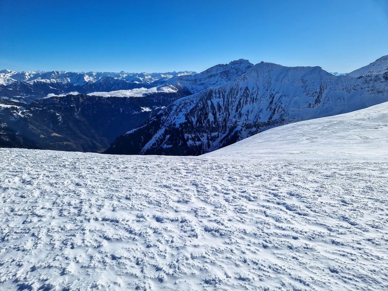
And here we are!
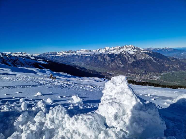
The Alpine winter wonderland - exactly what we needed!
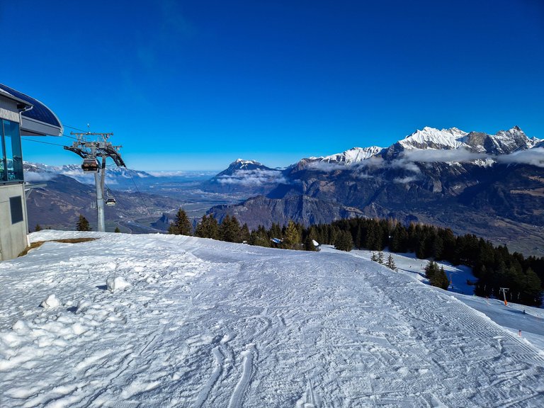
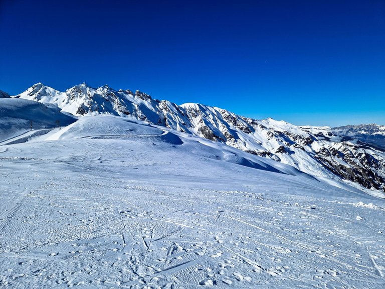
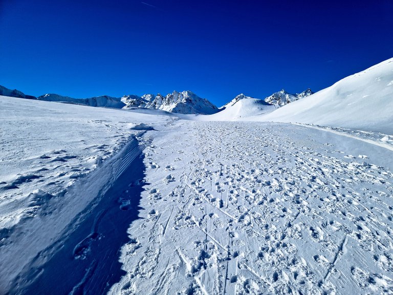
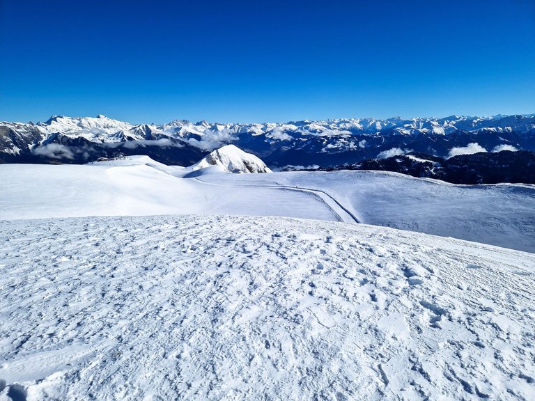
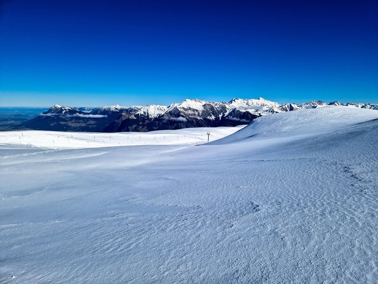
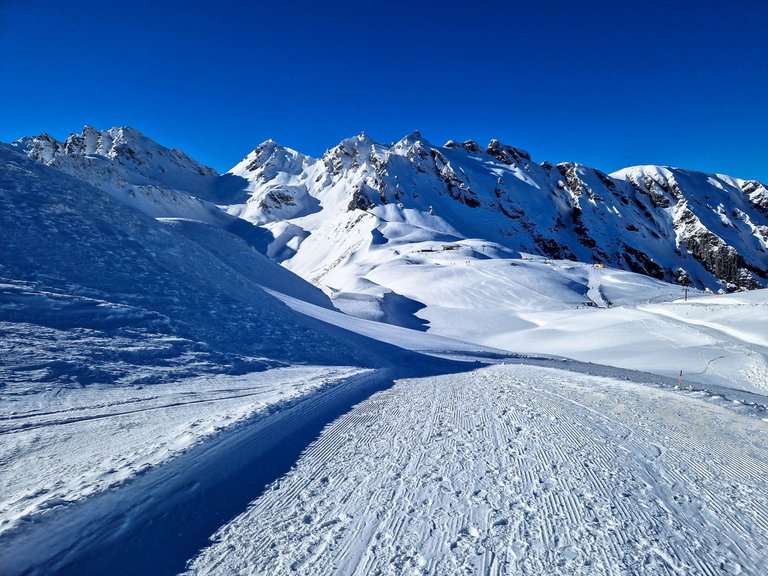
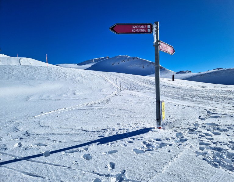
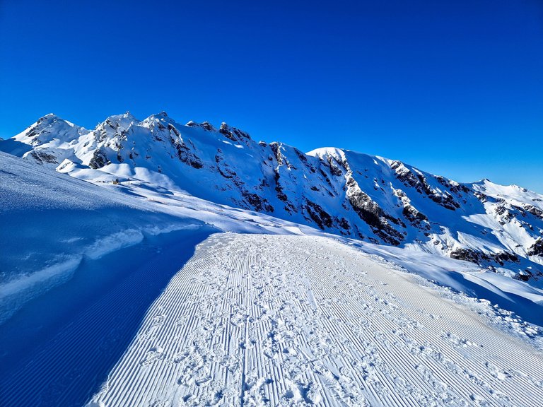
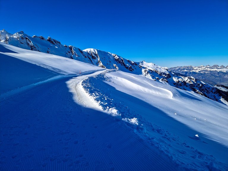
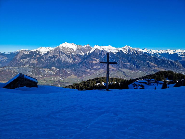
Laufböden is at 2226 m above the sea level and this is the highest point of Pizol high plateau to which you can get by the chairlift. From here you can ski all the way down or you can enjoy one of the hiking trails. In winter, there is a hiking trail called Pizol Panorama Höhenweg, and this is where we were heading. It was supposed to be an easy hiking experience, less than 4km long and only 30 m gain in altitude, and all of them accompanied by wonderful views and lots of snow.
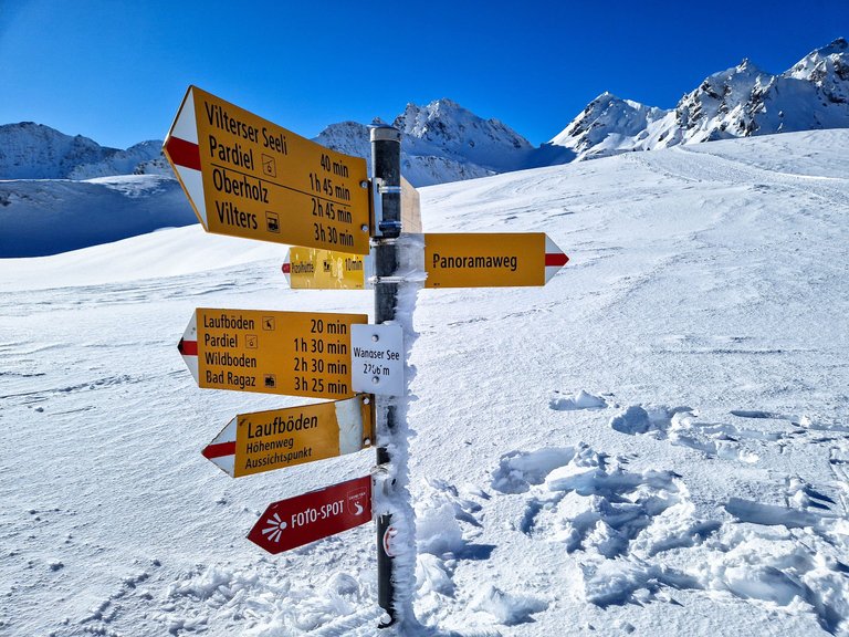
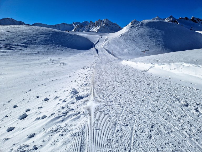
There are information boards on the way as this route is part of UNESCO World Heritage Site, but they were all covered with deep snow.
But our direction poles were long enough to follow them...
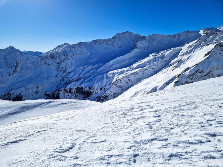
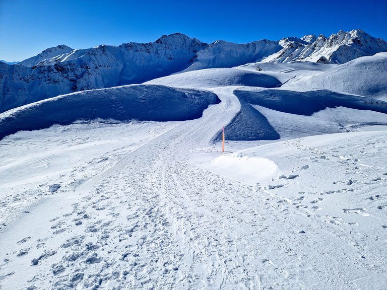
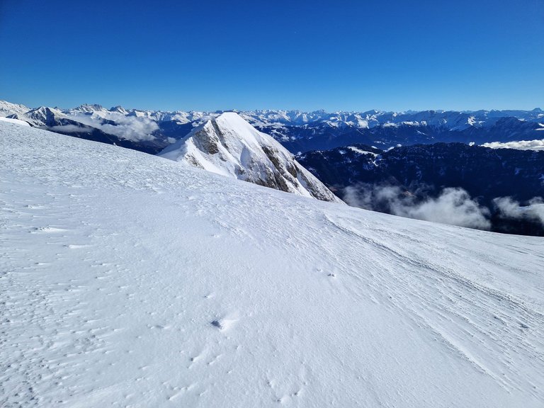
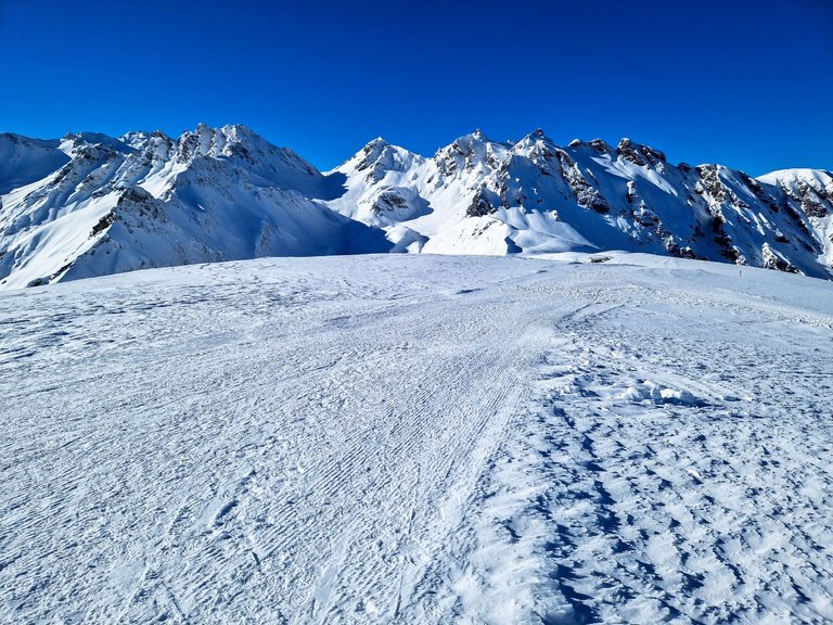
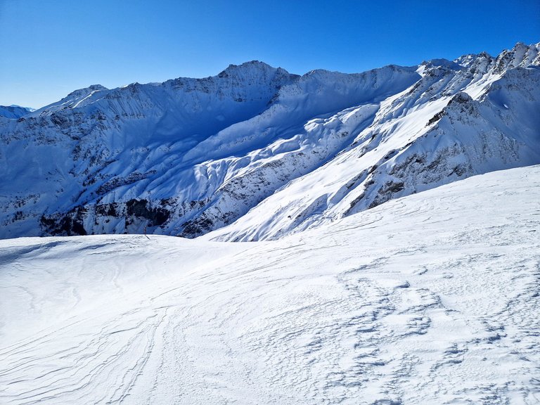
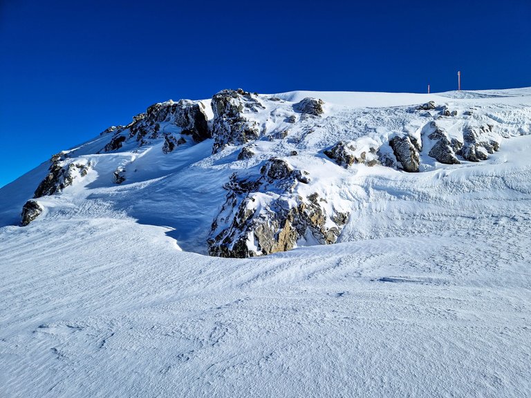
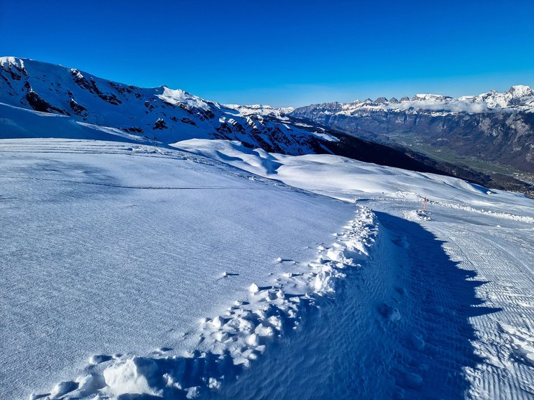
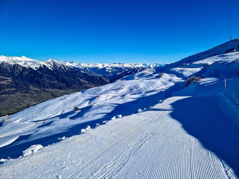
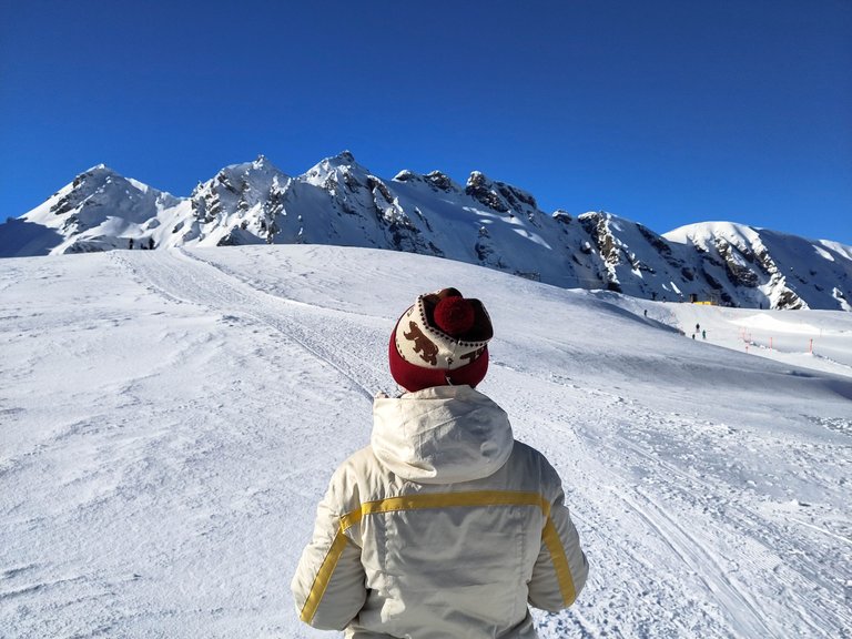
It's a circle hike and we started it with a long maintained path stretching far away to the back and majestic Pizol right ahead of us (the crooked peak in the middle). It looked a bit hilly, but the information said 30 meters, so let's hope it's not going to be much more.
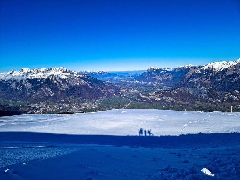
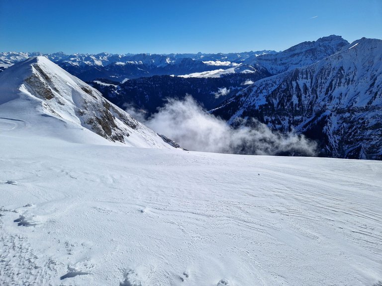
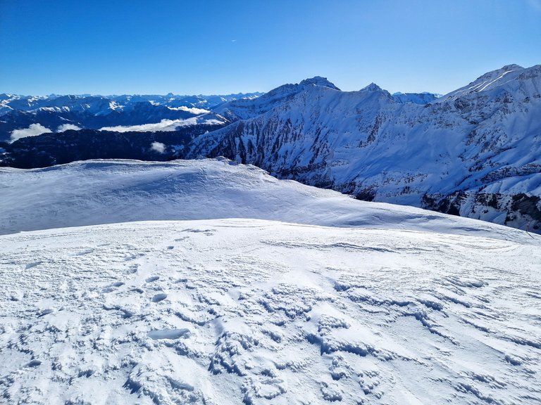
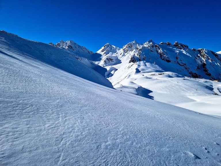
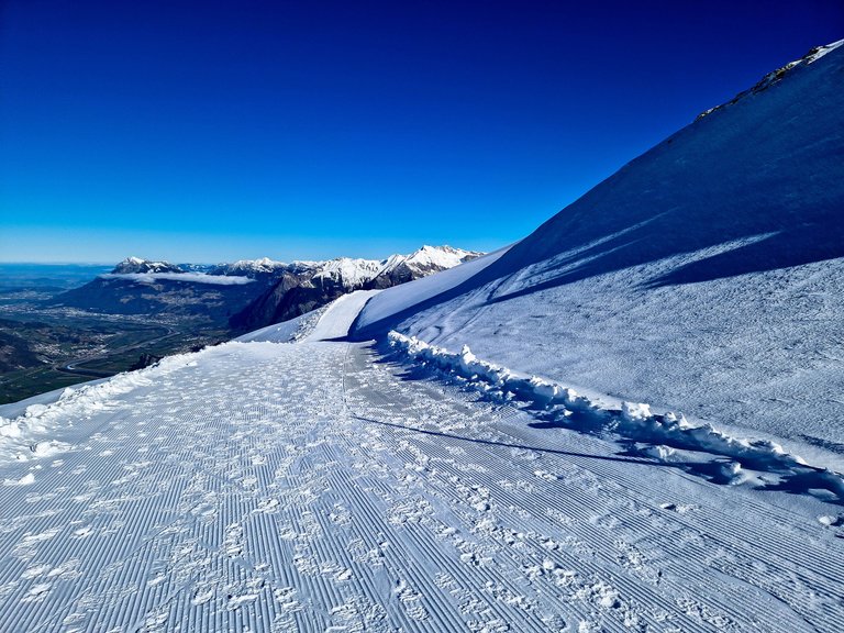
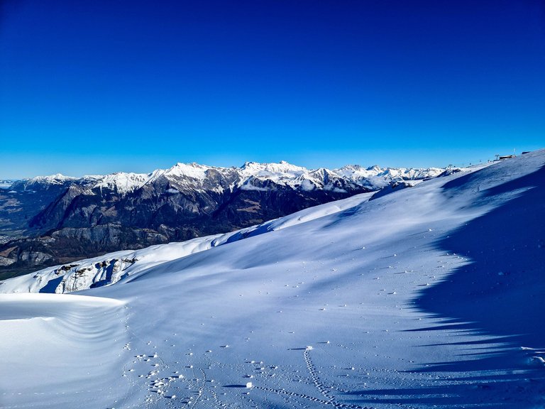
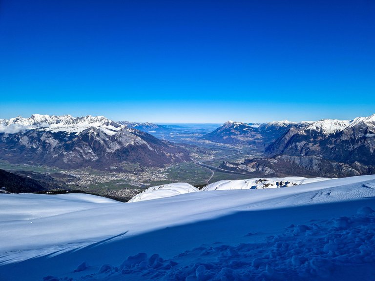
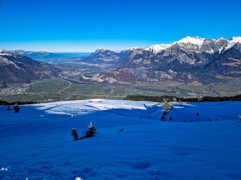
The mountains are stretching down to the Walensee which is a lake with the most beautiful color...
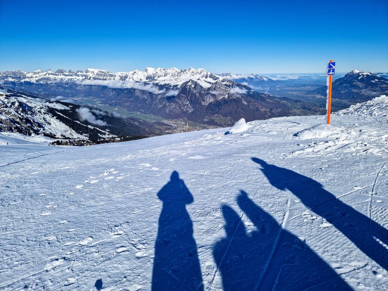
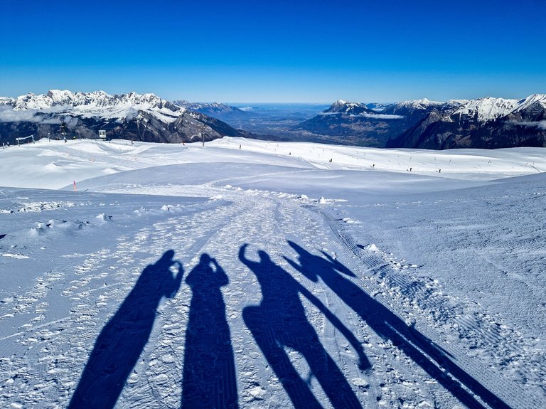
The winter sun in the mountains is always low, so there are long shades even at lunchtime.
Me and my husband taking photos, our friends hugging (not wrestling 😊)
There was so much snow, and I was lucky to take some photos before the guys 'had' to try walking on it what resulted in them breaking it and falling knee deep in the snow.
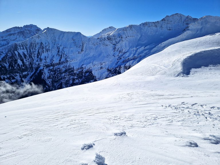
Some places were steep, and at some point I started to doubt those 30 meters...
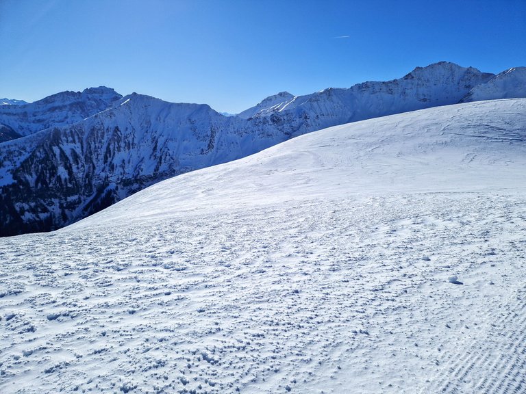
Hiking in snow is difficult, and we were grateful for every short flat part...
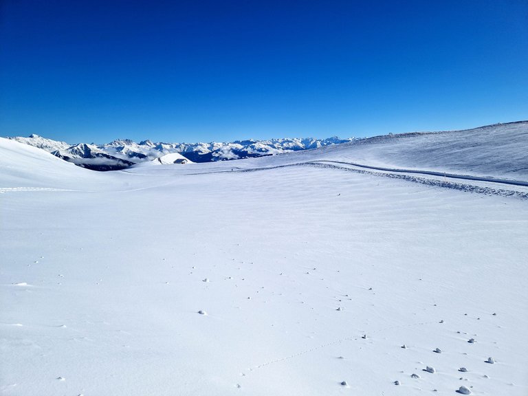
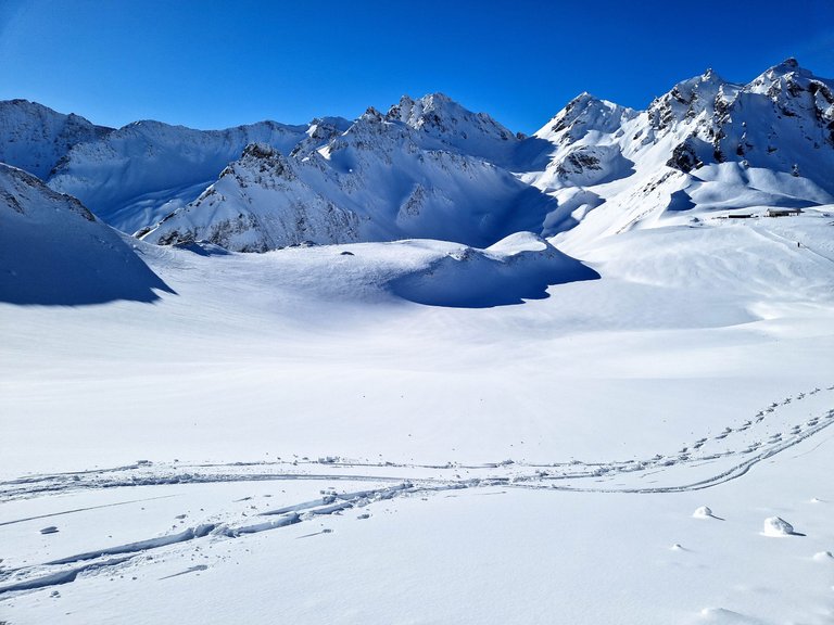
That small house in the back is where we came from...
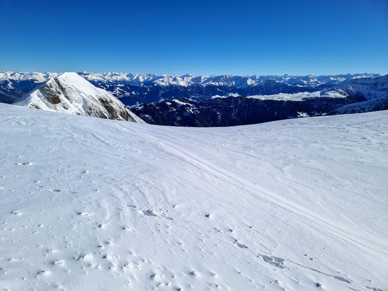
The highest point looked much higher than a 30 meters difference, so we checked in the app and it was 75 meters! But we made it!
Can you see that person on the trail? I was feeling sorry for them as I knew what was ahead of them.
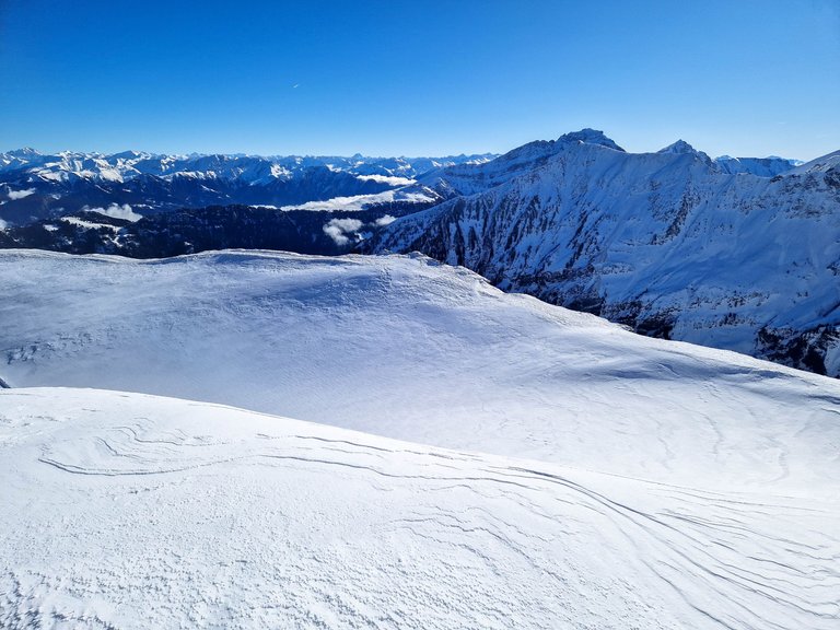
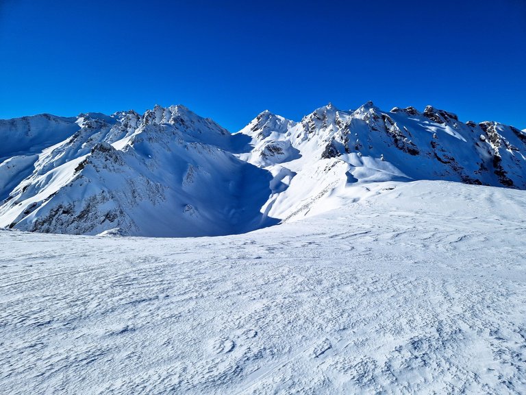
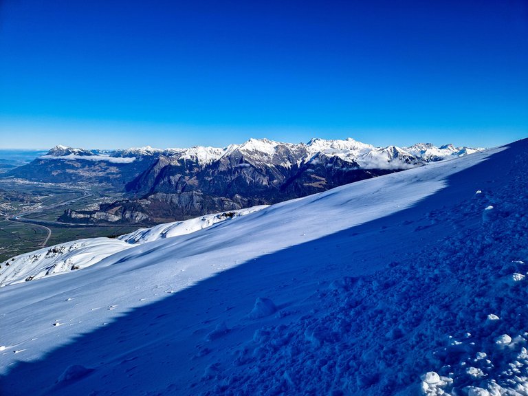
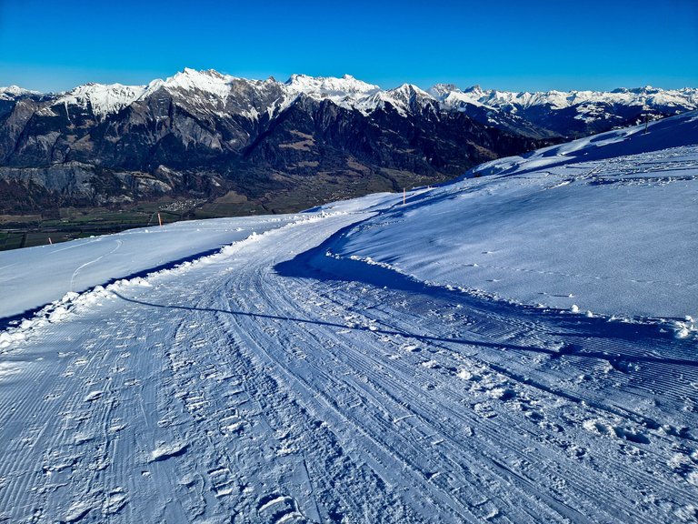
On the left side we see the Alps of Lichtenstein, in the middle are the Alps in Austria, and towards the left side are the Alps of Switzerland.
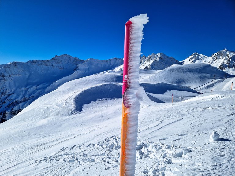
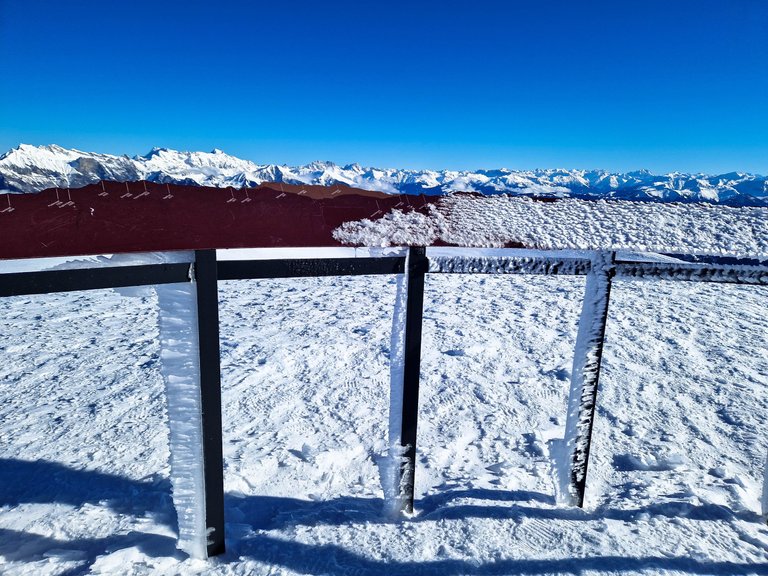
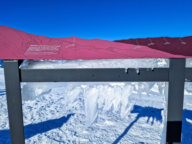
And then we reached the viewing platform with the names of all summits visible from it. However, I was more interested in the ice creations on the railings.
Look at how beautiful it is...
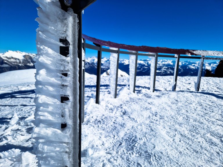
It looks like teeth of a dinosaur - at least this is how I imagine them to be (with high level of imagination).
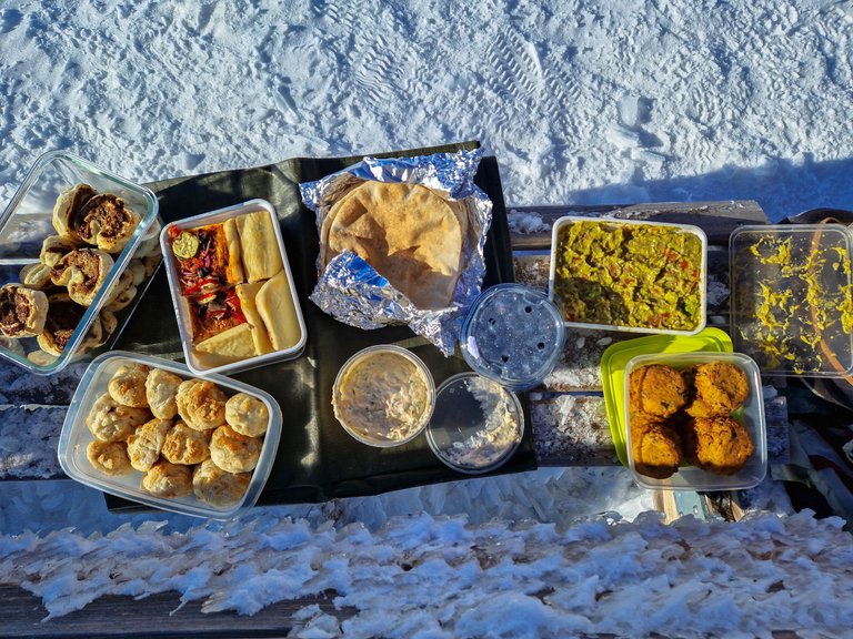
There were some benches out of which only 3 were above snow. They all were occupied, but we asked a guy who was sitting alone if we could join him, so we could spread our picnic. We had a great variety consisting of pinwheels stuffed with mushrooms, delicious pizza, guacamole, falafel patties, sour cream sauce, flatbread, blueberries, apple puff pastry and banana bread (not on the photo) for dessert.
It was warm with no wind, so we took our time to eat while enjoying the sunshine and the views.
And then it was time to continue...
It looked like the summit was close by, but I can imagine it's still a few hours hiking to get there, and I also think that certain Alpine equipment is needed to get there.
Finally, we started to go down! To celebrate we did this (from the left to the right): my friend tried to make a heart, I took a photo, my husband changed into a monkey, and another friend was confused.
The snow was stretching so far away from us...
We walked and walked and walked, but it didn't feel so long as we kept talking and laughing...
From time to time, we saw that some people just can't stay on the slopes...
These signs usually start high above my head, so I assume that there was about 2 meters of snow.
We were almost approaching the end of our trail, but we didn't want to leave yet, so when we arrived back at the station I asked a guy working there if there is any maintained trail that would lead us down to the gondola. He showed us where it starts and told us that it should take around 1.5 hours. We were fine with that and started to walk again.
The hike down started well. The trail seemed to be maintained, and there was literally nobody else. Well, it's much easier to take the chairlift down, but we really didn't like it on the way up, so we chose the more difficult option.
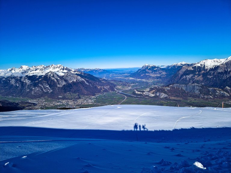
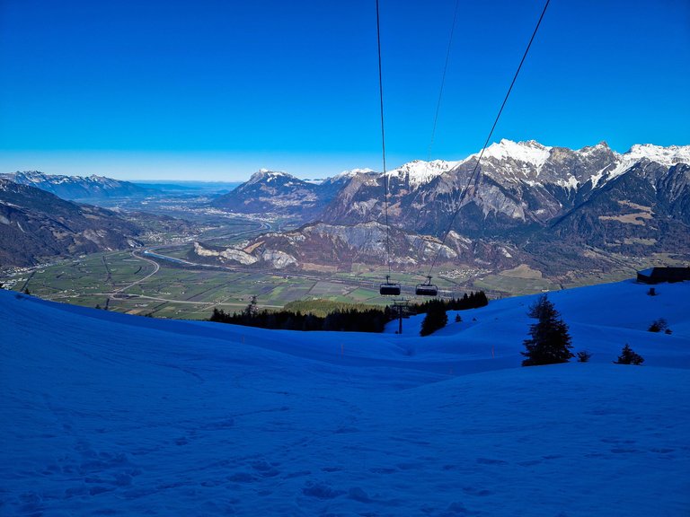
We were going down quickly and soon we started to see the valley from where we came...
The beautiful Churfisten (in the middle) were reminding me to visit them again...
We left Pizol behind us...
And looked at Lichtenstein ahead...
It started to get complicated soon as the trail became icy and slippery. We were going steeply down and had to be very careful. Some of us (guys of course) chose to slide down on their bellies which didn't end up as well as they planned, and it didn't bring them much farther. They ended up wet in the end.
My friend is pregnant, and I was walking behind with her as she had to watch every single step not to slip and fall. We stopped from time to time to enjoy the views as we started to feel our legs from the constant pressure.
The trail looked just like the one before, but I guess it got icy as not many people walked on it...
We still managed to have some photo fun 😊
Should we have taken the chairlift? NO! We will make it!
We jumped up and down when we finally saw the gondola station not so far from us.
From what should be an easy 1 hour hike we managed to do a difficult hike of almost 4 hours, 15000 steps, 100 meters up and 700 meters down! Not a bad day 😊
I don't need much to be happy, just a Saturday in the mountains with dear friends followed by aching legs for 2 days.
Thank you for reading,
Cheers,
Martina